Laurent GONTIER
Laurent Gontier grew up between Toulouse and Corrèze, inspired by the landscapes of his childhood and those of the Corbières where, as a teenager, he found the lands of Tolkien. At the same time, he discovered Lovecraft and sketched his first maps for role-playing games. A medievalist by training, formerly an author of travel guides and then a teacher in a video game school, he has been developing for a little over 10 years a cartography rooted in territories, real or imaginary, their archives, and the memory of their inhabitants. An artistic and documentary approach that has taken him from the island of Ouessant to the Irish border, from the Berlin Wall to a uchronistic version of the planet Venus.
He is invited to Trolls & Légendes for his work as a cartographer on The Lovecraft Atlas.
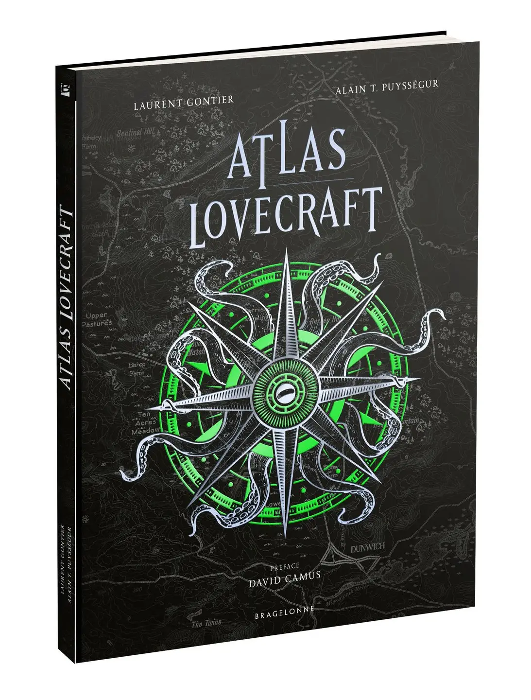
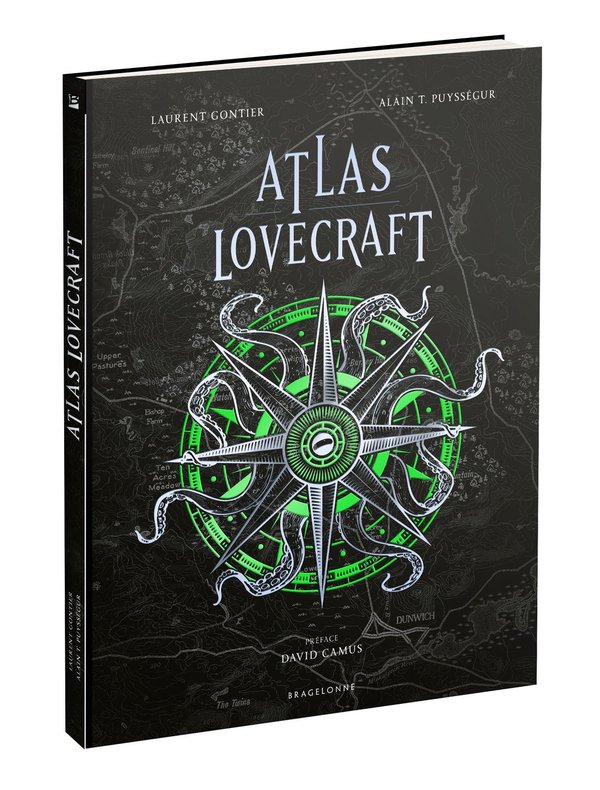
The Lovecraft Atlas explores the work of H. P. Lovecraft through cartography. The book presents itself as a collection of period files exploring the geographical, cultural, and historical context of the stories of an author who, working as a craftsman of the hoax, anchored his plots in reality. In homage to his approach, it was not simply about producing maps here, but about creating genuine files that are formally credible, as if they had emerged from 1890 to 1937. Each document is a fictional archive, constructed as if it had been produced a century ago by cartographers, explorers, or heritage architects, etc. Graphic style, typography, medium, production technique, and paper age enhance its plausibility.
A magnificent and richly illustrated work that will appeal to connoisseurs of Lovecraft's work, but also to lovers of the imaginary in search of distant lands...
Photos